INDIA Map | Classical Sepia | A3 Frame
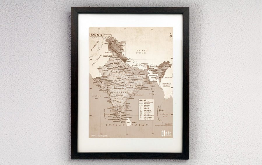
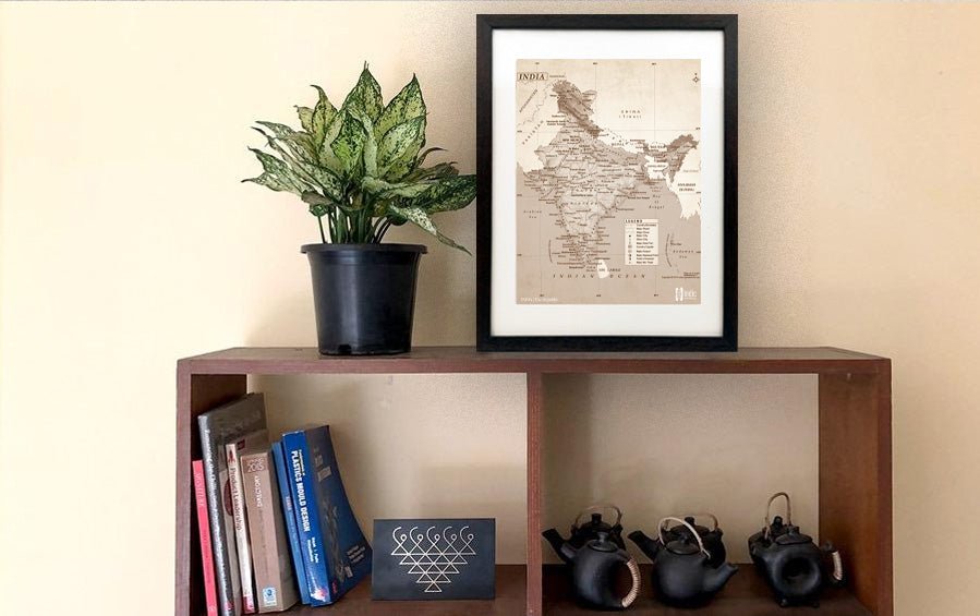
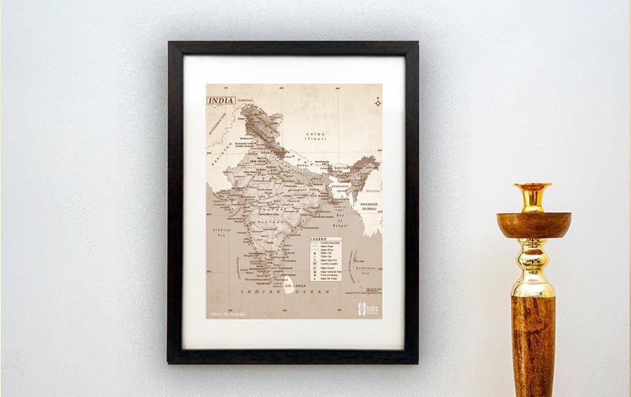
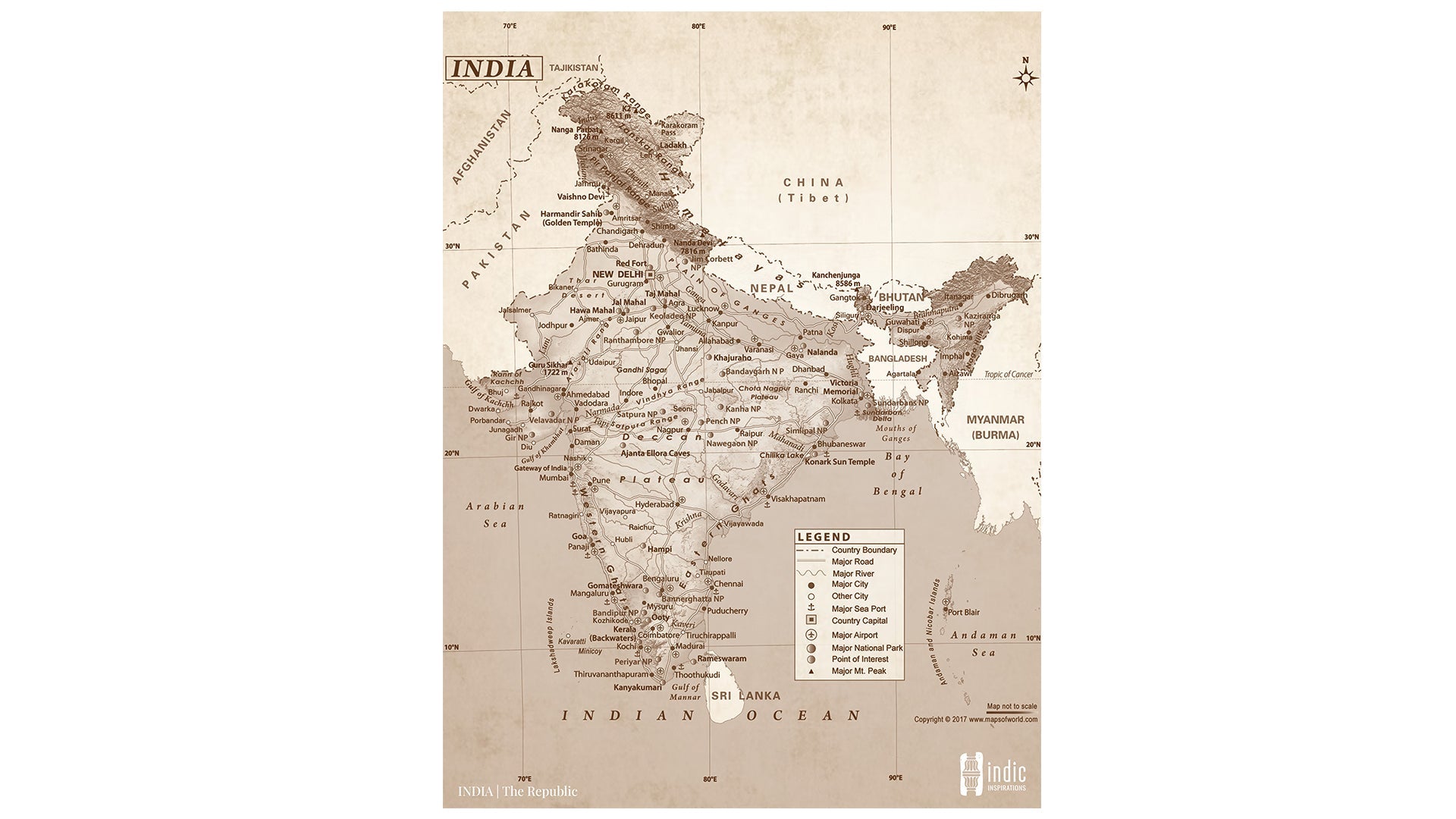
Map of INDIA | A3 Frame | This map in classical Sepia colour is an all-purpose map showing physical, political, tourist features of the country. Get this map frame to adorn your walls - at home, offices, schools, colleges!
-
Political Features
- States and Union Territories: Each state and UT is marked
- International Borders: India's borders with neighboring countries like Pakistan, China, Nepal, Bangladesh, etc.
-
Physical Features
- Mountains: Major ranges like the Himalayas, the Western Ghats, and the Eastern Ghats.
- Bodies of Water: The Arabian Sea, the Bay of Bengal, and the Indian Ocean.
- Plateaus and Deserts: Such as the Deccan Plateau and the Thar Desert.
-
Architectural/Historical Maps: These maps often highlight:
- Famous Monuments: The Taj Mahal, Red Fort, Qutub Minar, etc.
- Sites of Historical Significance: Battlefields, ancient ruins, pilgrimage sites.
- The major roads, country boundary, major cities, prominent points of interests along with location of airports and sea ports are precisely marked in this map.
- Even mountain peaks, mountain ranges, major rivers, other water bodies and relief pattern of the country are aesthetically presented in this map.
- Besides, the location of the neighbouring countries of India are also shown on the map.


