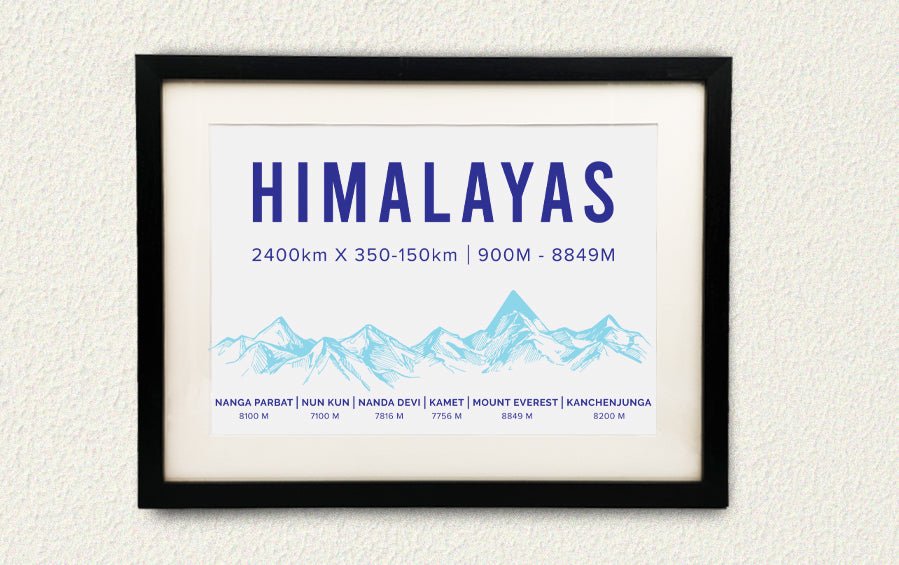
Himalayas - A3 Frame
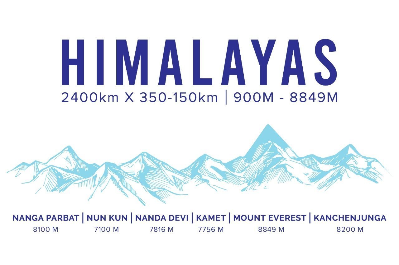
Bring the grandeur and awe of the Himalayas into homes with this keep-sake of the 6 important Peaks of the Himalayas as they spread from the west to the east, across various Indian states that they are in! Ideal gift for the adventurous, trekkers and lovers of the outdoors.
ABOUT THE HIMALAYAS
The Himalayas, or Himalaya (Abode of Snow in Sanskrit) is a mountain range that extend for 2400 km in South and East Asia separating the plains of the Indian sub continent from the Tibetan Plateau. The range has many of the Earth’s highest mountain peaks, including the highest, Mount Everest. It gets most of the world’s precipitation and creates a system of rivers that brings down the highest fresh top-soil in the world each year, creating the fertile North & East Indian Plains. The three major parts of the Himalayas range from 900 m to 8000+ m altitude, called the Shivalik Hills, Himachal and Himadri ranges.
Nanga Parbat (8125m), the world's ninth- highest peak, is the westernmost peak of the Great Himalayan range. With a 20 km long series of peaks and ridges, Nanga Parbat forms a huge massif. Its solitary white appearance, visible from the south for at least 100km, prompted its name, which means `naked mountain' in Urdu. The view of Nanga Parbat from the Indus River is one of the most awesome sights in the world.
Nun Kun mountain massif consists of a pair of Himalayan peaks: Nun, 7,135 m (23,409 ft) and its neighbor peak Kun Peak, 7,077 m (23,218 ft). Nun is the highest peak in the part of the Himalayan range situated in Himachal Pradesh. The Nun Kun massif is bounded to the north by the Suru valley and the Zanskar range. To the South lies the Kishtwar National Park and the Krash Nai river.
Nanda Devi 7,816 m (25,643 ft) is the highest peak in the Indian state of Uttarakhand and for a number of years during the early surveying of the Himalayas it was considered the world’s tallest peak. The peaks name means Bliss-Giving Goddess and the peak and surrounding area have been placed off limits to travellers since 1983 both out of respect and to protect the ecological diversity of the area.
Kamet Peak 7,756 meter is the highest summit in the Garhwal region in the Chamoli District of Uttarakhand. Kamet is the second highest mountain summit of the Garhwal Himalayas.
Mt. Everest (8,849 m) - Mount Everest is the highest of the Himalayan mountains, and—at 8,849 meters (29,032 feet)—is considered the highest point on Earth. In the nineteenth century, the mountain was named after George Everest, a former Surveyor General of India. The Himalayan mountains have long been home to indigenous groups living in the valleys. The most famous of these are the Sherpa people.
Kangchenjunga 8,586 m (28,169 ft) is the world’s third tallest peak and tallest peak in the Indian Himalayas. Trekkers can reach the base of the mountain on the Goecha La Pass and Green Lake Treks in Sikkim or can take the more arduous journey from Nepal to the north and south base camps.
Get this souvenir - a reminder of its grandeur and the wall that protects India from the cold winds from China! The birthplace of its most important rivers and of its spirituality!


